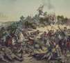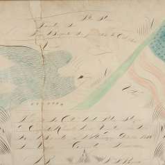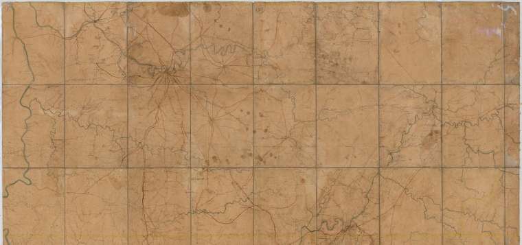
Map of Middle and East Tennessee and parts of Alabama and Georgia, 1862, created by Union cartographer Capt. Michler. hen Capt. Nathaniel Michler of the Army Corps of Engineers served with the Armies of the Ohio and Cumberland and, later the Potomac. He eventually reached the rank of Brigadier General, chose the site of the White House, and supervised light house construction.